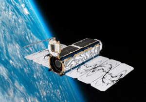
The method of using aircraft (such as airplanes, drones, etc.) equipped with remote sensing sensors to obtain information on the Earth’s surface through aerial remote sensing imagery. Due to the low flying altitude, high-resolution image data can be obtained, usually ranging from 10 centimeters to 1 meter. Aerial remote sensing has the advantages of fast data acquisition, high resolution, and high data accuracy, making it suitable for small and medium-sized data acquisition.
The characteristics of aerial remote sensing images:
1. High resolution: It can provide high-resolution images and capture subtle surface features.
2. Wide coverage: It can cover a large geographical area and provide a wide range of geographic information.
3. Quick acquisition: The acquisition speed is fast, and the required geographic information can be quickly obtained.The functions of aerial remote sensing images:
1. Cartography: It can be used to create maps and provide accurate geographic information.
2. Environmental monitoring: can be used to monitor environmental changes, such as forest coverage, changes in water bodies, etc.
3. Land use planning: can be used for land use planning, including urban planning, agricultural planning, etc.

Application scenarios of aerial remote sensing images:
1. Urban planning: It can be used for urban planning to help planners understand the development of the city and optimize urban planning.
2. Natural resource investigation: can be used for natural resource investigation, including monitoring and evaluation of forest resources, water resources, etc.
3. Disaster monitoring: It can be used to monitor natural disasters, such as floods, earthquakes, etc., and provide timely information on disaster situations.
4. Agricultural production: It can be used to monitor the growth of crops and improve agricultural production efficiency.
To sum up, the value of aerial remote sensing images for urban governance lies in providing a comprehensive and accurate way to obtain ground conditions, providing important information support for urban planning, management, and emergency response, contributing to the sustainable development of cities and improving the level of urban governance.
